A View Like No Other
WHAT IS COLBERT AI?

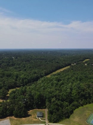
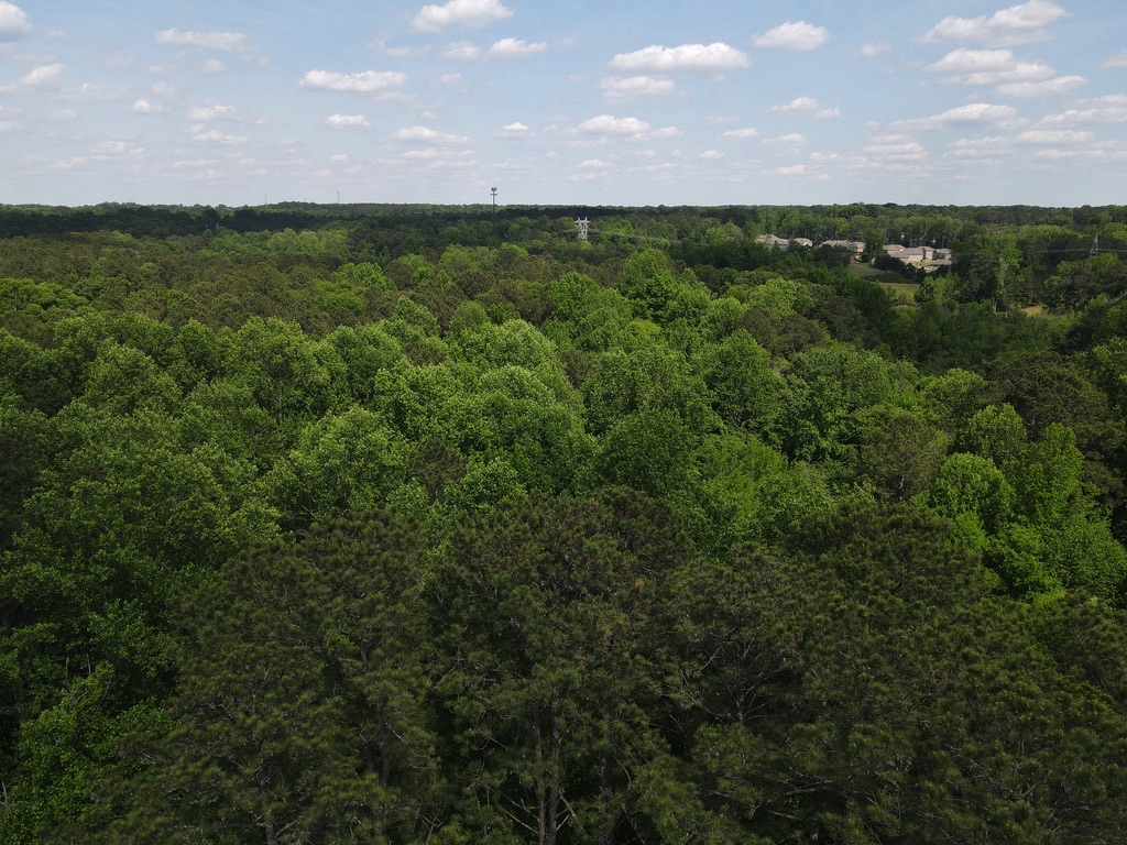
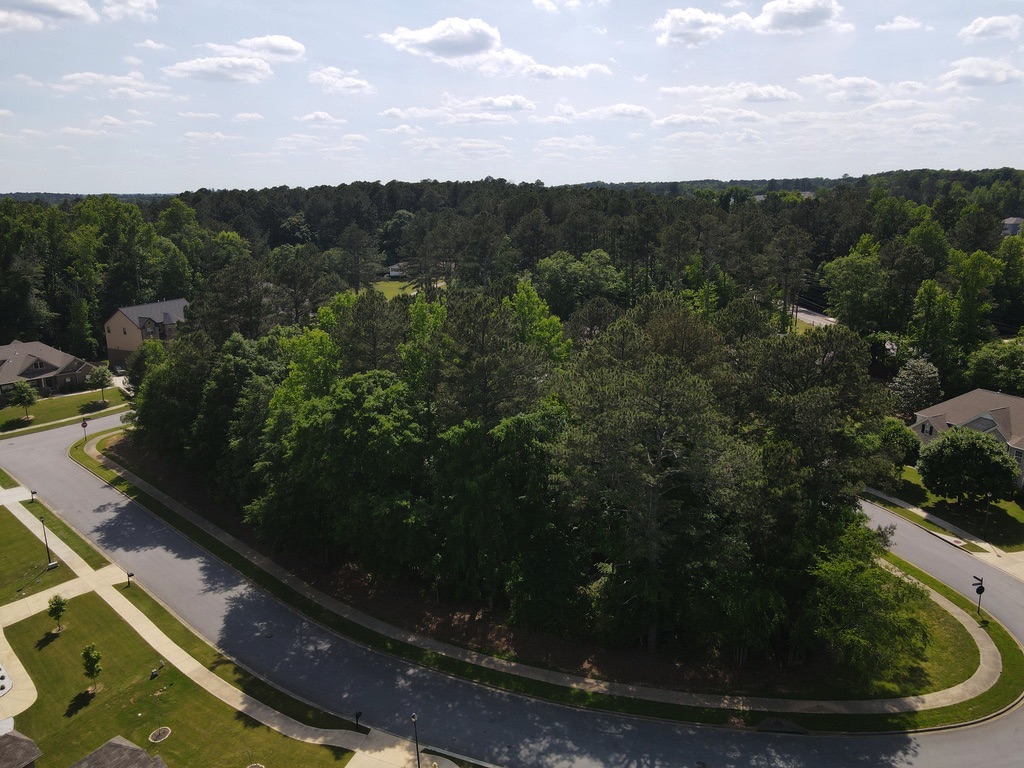
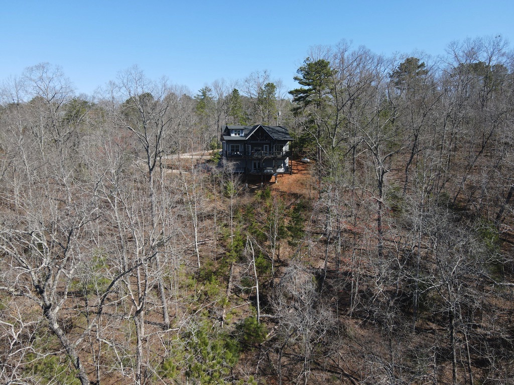
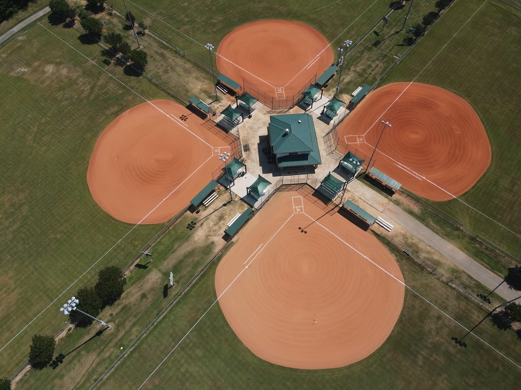
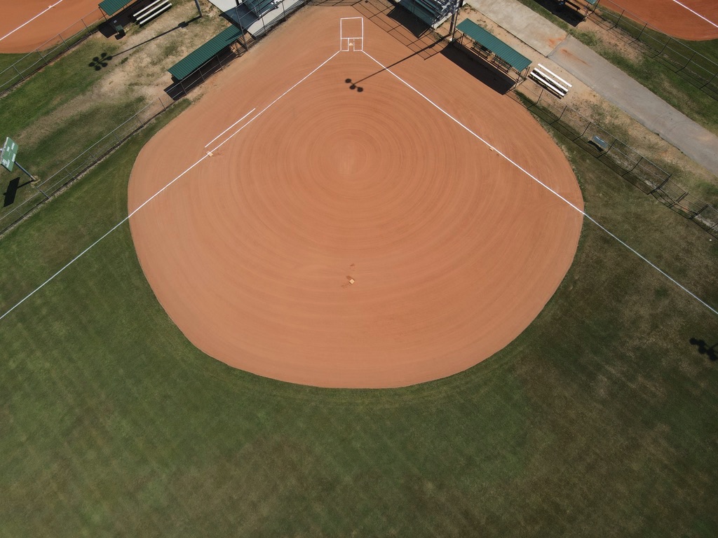
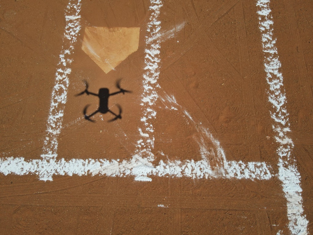
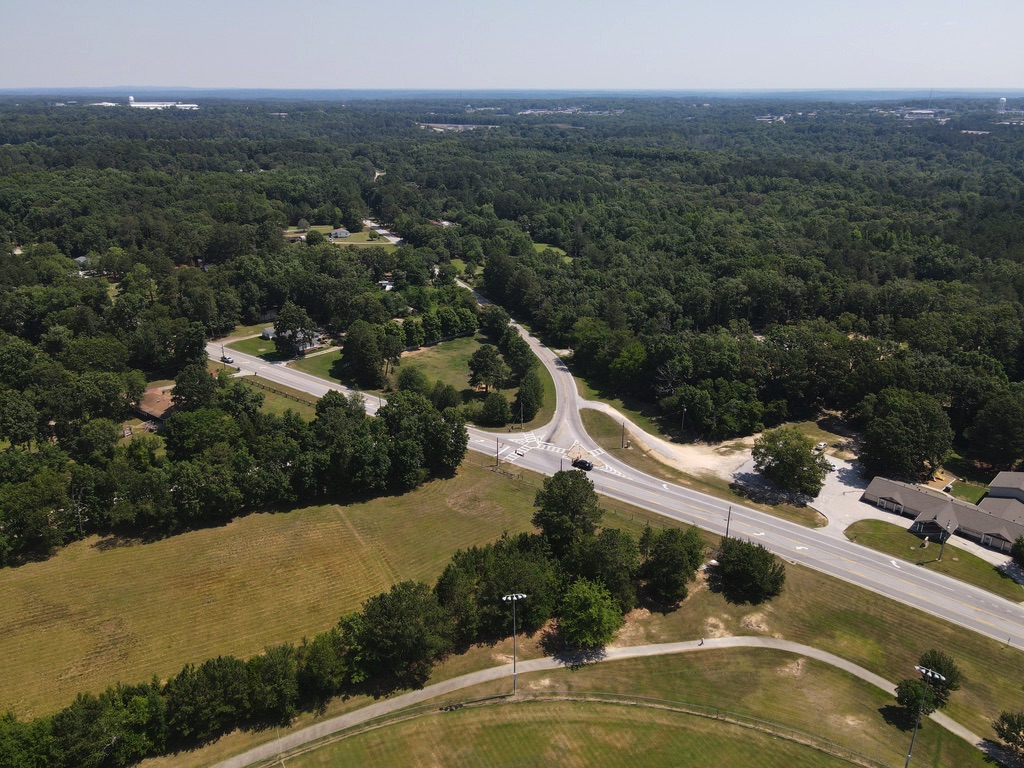
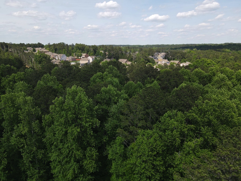
Bird's Eye Veiw
Below are some shots taken with our drone...providing you with a "Bird's Eye View".


Benefits of Aerial Photography
Aerial images used to be taken using helicopters or airplanes, which require hiring a plane, pilot, and an aerial photographer. The barriers for those technologies were generally out of reach for most businesses. Drone technology now provides a safer, quieter, more precise, and less expensive solution.